


Imagine having such a 3D model of your farm
- Adriaan van Niekerk

- Nov 11, 2018
- 1 min read
Updated: Nov 12, 2018
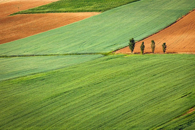
Remote sensing and geospatial technologies can also help with other aspects of farming. For instance, in this video a 3D model was generated by draping a very high resolution colour satellite/aerial image onto a digital elevation model (DEM). Such models can be created for individual farms to provide an overview of operations. It is definitely eye-catching! Wouldn't it be cool thing to show visitors to your farm? Or to your website. The model can either be used in a video (e.g. online) or it can be printed as a poster - or even as a physical model (using 3D printing)!

This article was originally published on www.remotesensing.blog, which is devoted to articles about the use of remote sensing and other geospatial technologies for agricultural and related applications.
See related posts:


Comments