


Terrain data for supporting agricultural decisions
- Adriaan van Niekerk

- Nov 6, 2021
- 3 min read
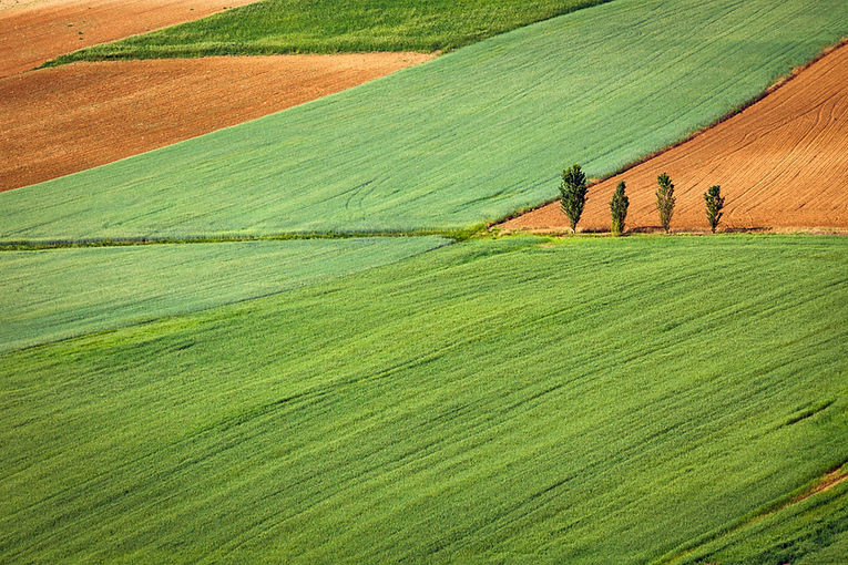
In previous posts, I explained how satellites capture electromagnetic energy reflected from the earth’s surface, and why specific regions of the electromagnetic spectrum are more important than others for monitoring crops. I also showed how images captured over a period (so-called multitemporal remote sensing) can be used to monitor the growth stages (phenology). The impact of image resolution was also covered, and different sources of imagery including those captured by satellites, aircraft, and drones (or unmanned aerial vehicles) were discussed.
Remotely sensed data are used to generate a range of value-added products, such as vegetation indices, that are very useful for crop monitoring. Another value-added product – that is not often associated with remote sensing – is a digital elevation model (DEM).
Guth et al (2021) define a DEM as “…a digital representation of elevations (or height) of a topographic surface in form of a georectified point-based or area-based grid, covering the Earth or other solid celestial bodies. Currently most common DEMs use rectangular grids (“arrays”) and raster image file storage formats.” So essentially an image, where each pixel represents the elevation (height above mean sea level) of the earth’s surface.
DEMs can be generated from ground surveys (e.g. using surveying equipment) or through remote sensing. Photogrammetry is the process of using parallax and stereo images (acquired from a distance) to estimate distance. The result of digital photogrammetry is a digital surface model (DSM), which depicts not only the earth’s surface but also the features (e.g. buildings, vegetation) on the earth’s surface.
For agricultural applications, it is often more useful to have a surface that represents the actual earth surface (excluding vegetation), called a digital terrain model (DTM). A DTM can be extracted from a DSM, using a process dubbed DSM to DTM (DSM2DTM) conversion. The conceptual difference between a DSM and a DTM is shown below (artfully illustrated by Carlos Grohmann and taken from Guth et al 2021).

DTMs are very versatile and can be used to generate a range of derivatives, including slope gradient, slope aspect, surface curvature, solar radiation, and topographic wetness (these derivatives will be covered in separate articles). Arguably, the most valuable DTM derivatives are hypsometry, hillshades and contours. The map below shows how these three derivatives can be combined to produce a three dimensional depiction of terrain at farm (boundaries shown in yellow) and field (boundaries shown in red) scale.

Such maps provide invaluable overviews of farms and are essential during the design of orchards/vineyards and irrigation infrastructure. In this map, the contour interval was chosen to be 10 m on the main map and 2 m on the inset map, but the interval can be set to whatever is appropriate for the task at hand. For instance, GeoSmart provides contours of up to 50 cm vertical intervals. The importance of terrain for agricultural applications is being recognised by initiatives such as TerraClim, which combines terrain and climate data to support climate-smart agriculture.
Although topographic data are not typically associated with remote sensing, most modern DEMs are generated using remotely sensed data. Thanks to technological advances, the detail and accuracy of DEMs are rapidly improving; to such an extent that they can be used at a field, orchard, grove and vineyard scale. Although DEMs are typically manipulated, analyzed and viewed using sophisticated geographical information systems (GIS), web applications such as TerraClim are making such data accessible to farmers, often at no cost to the user.

This post forms part of a series of articles on the value of terrain data for agricultural applications. Watch this space!


Hello,
Found your post interesting to read. Good Luck for the upcoming update.This article is really very interesting
<a href="https://www.pixxel.space/">Hyperspectral Imagery and Space Data Company</a>