


Where did Cape Town's water go?
- Adriaan van Niekerk

- Jun 6, 2019
- 2 min read
Cape Town recently experienced a severe drought. The impact of the associated lack of available water was devastating, especially on the agricultural sector, and it will likely take many years for the region to fully recover. The drought was a bit of a wake-up call as it forced authorities to reassess water use policies. It also raised many questions, such as: Where did the water go?; and Who is using all the water?
A recent study – funded by the Water Research Commission of South Africa and carried out by a group of scientists from the Centre for Geographical Analysis at Stellenbosch University and the CSIR – aimed to answer these (and other) questions. What makes the study unique is that remote sensing was employed to quantify the water lost through evaporation and used by vegetation (transpiration). The remotely sensed data were combined with other data, such as municipal water use records, to provide a comprehensive assessment of how South Africa’s limited water resources are utilized.
The study showed that, with the aid of satellite remote sensing, water use can be linked to specific land uses (e.g. urban, agriculture, conservation). A user-friendly web-based tool was created to model future water use scenarios. For instance, one can employ the tool to estimate water use changes should a specific agricultural area be converted for urban use, or if rain-fed annual crops are replaced by irrigated perennial crops.
The study also makes provision for climate change scenarios. For instance, it can model what will likely happen if (when!) temperatures increase by 0.5 degrees AND urban areas expand by 10%.
In addition to the online tool, the project team produced a set of informative posters containing land and water use maps, statistics and guidelines at national, provincial and regional level. For example, the poster for the greater Cape Town region is shown below.

Here is the full list of available posters:
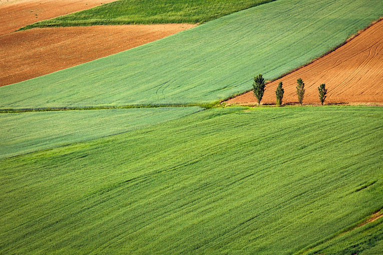
One of the interesting findings is that, in the Cape Town region, natural vegetation (Fynbos and thickets) is by far the largest “user” of water! BUT, this is simply because natural vegetation covers the largest area. Per unit area, forests use the most water, followed by perennial crops. This information is invaluable for future land use planning.


Comments