


What exactly is remote sensing?
- Adriaan van Niekerk

- Oct 30, 2018
- 2 min read
Updated: Nov 10, 2018
In laymen's terms, remote sensing (RS) is the process whereby information of an object, or many objects, is collected from afar, i.e. without being in direct contact with it.
Humans and other animals apply RS inherently through vision (which is a sensing activity), but generally the term "remote" is only used when the target is out of reach. This is in contrast to proximal sensing, which shares many of the same principles and tools as RS, but is performed in close proximity (within reach) to the target.
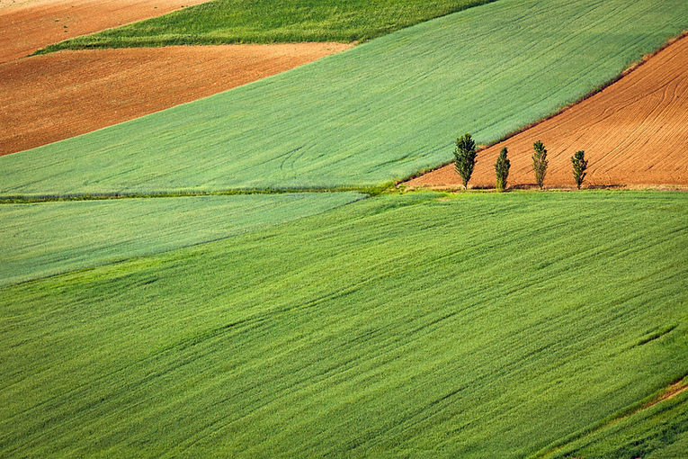
Generally, the term "remote sensing" has become synonymous to observing the Earth's surface from space or from high altitudes, but RS is frequently used in astronomy to study other celestial bodies. The term Earth observation is often used to describe the activity of employing RS techniques and data to study the Earth's surface and atmosphere.
The photograph below is of NASA's Landsat-8 satellite, which was launched in 2013 to collect RS information about the Earth's surface. The Landsat program has been collecting images since 1972.

RS is a fantastic tool for monitoring agricultural activities. The infographic below illustrates how Sentinel-2 images can be used to monitor the moisture content within an irrigated maize (corn) field. On 3 January one can clearly see the position of the center pivot's arm (north eastern direction) and that it was moving in a clockwise direction, because the southern parts of the field are drier. At this time the maize plants were small, but in March they have matured and were nearly uniformly wet.

Clearly remotely sensed imagery is invaluable for managing agricultural fields. And the best part is that both Sentinel-2 and Landsat-8 imagery are freely available (you can download the images the USGS and ESA)!
It can be a bit time consuming to search the USGS and ESA online directories for an image of a particular farm taken on a specific date, but this can be overcome by setting up automated procedures (software routines) to look for and download suitable images every now and then (e.g. once a day).
Or you can subscribe to the many online services that will, usually for a small fee, collect the images on your behalf and produce useful maps that are delivered to you in an email or through an app. Some of these services are even freely available.
The use of RS in agriculture is booming, simply because it helps to identify problems that are not apparent during field inspections. Addressing issues early on boosts yields, reduces input costs and, in many cases, improves crop quality. Which all leads to better profitability.
This article was originally published on www.remotesensing.blog, which is devoted to articles about the use of remote sensing and other geospatial technologies for agricultural and related applications.


Hi, recently I started my PhD, can you tell me what are the basic steps to follow while doing my research
What hardware specifications do we need , to work with satellite images using deep learning?
What are the important point or step to follow to work with satellite images?
What are the software or the tools which we need to download and work with?
Interested to work with python, so which framework is best to work?